Utility Mapping Experts
What Is Utility Mapping?
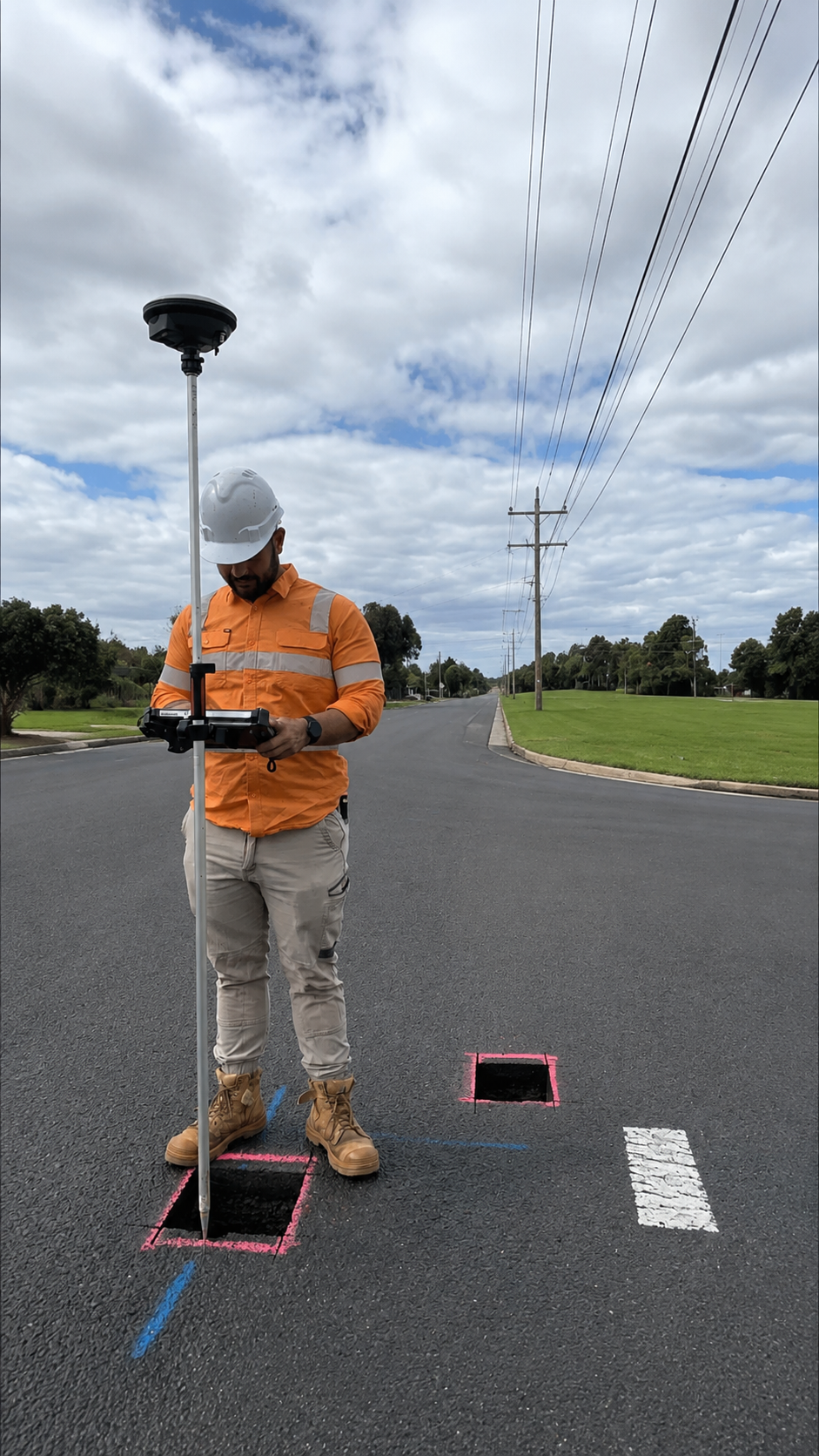
Utility Mapping is the process of locating, documenting, and creating accurate maps of buried utility infrastructure beneath the ground. It identifies the position of water lines, gas pipelines, electrical cables, sewer systems, storm drains, fiber optic cables, and telecommunication lines using advanced locating technologies. The collected information is converted into detailed utility maps that help contractors, engineers, and property owners understand what lies below the surface before excavation begins.
Professional Utility Mapping combines technologies such as Private Utility Locating, GPR Scanning, and GPS/GIS Mapping to create reliable underground utility records. Unlike basic Utility Marking, mapping provides permanent documentation that can be used for future construction, maintenance, and infrastructure management. Concrete Scanning can also help identify subsurface conditions within concrete structures before drilling, cutting, or other construction work. Accurate utility maps improve planning, reduce uncertainty, and help prevent costly utility strikes.
Whether you're managing a commercial development, municipal infrastructure project, industrial facility, or residential property, Utility Mapping in Rhode Island provides dependable subsurface information for safer decision-making. Combined with GPS/GIS Mapping, Private Utility Locating, Concrete Scanning, GPR Scanning, and Utility Marking, professional utility mapping improves project efficiency, enhances safety, and protects valuable underground assets.
When Is Utility Mapping Necessary?
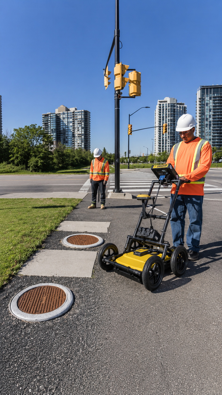
Utility Mapping should be completed before any major excavation, site development, road construction, utility installation, infrastructure upgrade, or property redevelopment project. Having an accurate map of buried utilities allows project teams to identify potential conflicts before construction begins, reducing delays and preventing accidental damage to underground infrastructure.
Many existing utility records are outdated, incomplete, or inaccurate due to years of repairs, modifications, and undocumented installations. Professional Utility Mapping verifies the actual location of underground utilities using advanced detection technology rather than relying solely on historical drawings. This gives engineers and contractors reliable information for planning excavation routes, utility relocations, and future construction activities.
Developers, municipalities, engineers, surveyors, utility companies, and contractors rely on Utility Mapping to improve safety, reduce project risks, and simplify infrastructure management. When combined with GPS/GIS Mapping, Private Utility Locating, Concrete Scanning, GPR Scanning, and Utility Marking, utility mapping supports safer construction and more efficient long-term asset management throughout Rhode Island.
What Is Required For Utility Mapping?
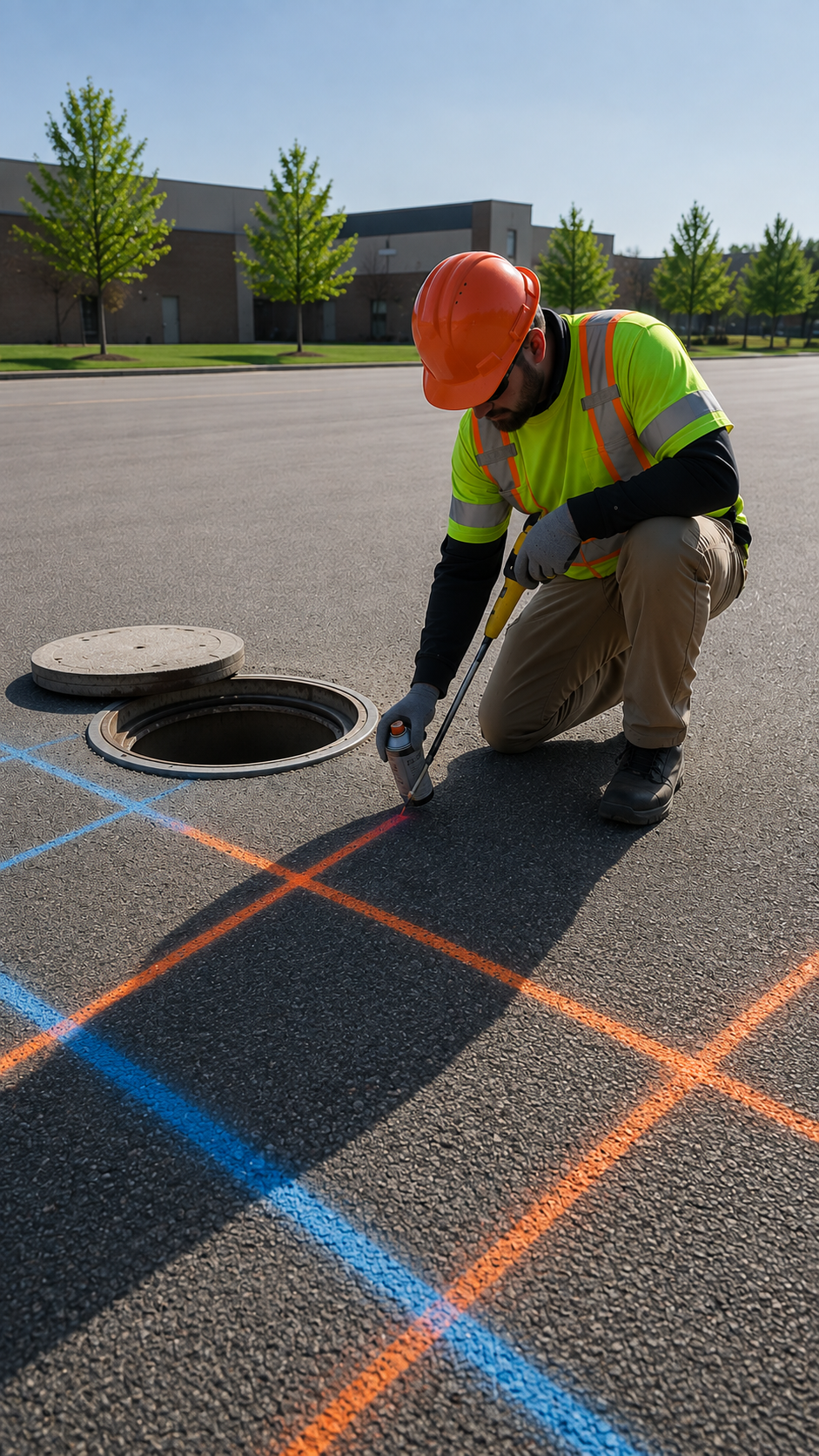
Successful Utility Mapping begins with a clear project scope, access to the site, and any available utility records, engineering drawings, or survey information. While existing documentation can provide useful reference points, professional mapping relies on field verification to accurately identify underground utilities before creating detailed utility maps.
Professional technicians use advanced Private Utility Locating equipment, GPR Scanning, electromagnetic utility locators, survey-grade GPS equipment, and GPS/GIS Mapping software to collect precise underground utility data. Each detected utility is verified, documented, and digitally mapped to produce accurate records that support construction planning, engineering design, maintenance, and future excavation projects.
Hiring an experienced Utility Mapping company ensures accurate data collection, reliable documentation, and high-quality digital utility maps. Combined with GPS/GIS Mapping, Private Utility Locating, Concrete Scanning, GPR Scanning, and Utility Marking, professional utility mapping helps reduce excavation risks, improve project coordination, minimize costly repairs, and protect underground infrastructure for years to come.

Our Reviews
What Our Customers Have to Say About Us!
“Excellent service from start to finish. The team was professional, accurate, and completed the utility locating work right on schedule. Highly recommended!”

“Very impressed with the quality of work. The crew was knowledgeable, thorough, and clearly explained everything. Great experience and dependable service.”
“Fast, professional, and reliable. They made the utility locating process simple and provided accurate results. I would definitely use their services again.”
The Process
3 Step Process For Your Utility Mapping Needs

Contact Us
Start by completing the 'Get a Free Quote' form on our website to share your needs with us.

Schedule Your Estimate
Next, we'll arrange a property visit at a time that works for you to provide an in-person estimate for your needs.

Get The Job Done
After you approve our estimate, we'll schedule a date to complete the job. Our team will work hard to exceed your expectations!
Request A Free Utility Mapping Quote
BUSINESS
SERVICES
SERVICES
SERVICE AREAS
OPERATING HOURS
Sun: Closed
Mon: 7:00am - 7:00pm
Tue: 7:00am - 7:00pm
Wed: 7:00am - 7:00pm
Thu: 7:00am - 7:00pm
Fri: 7:00am - 7:00pm
Sat: 7:00am - 7:00pm