GPR Scanning Experts
What Is GPR Scanning?
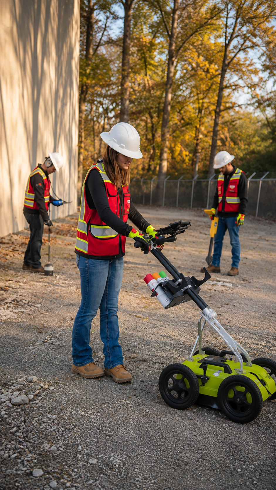
Ground Penetrating Radar (GPR) Scanning is a non-destructive testing method that uses high-frequency radar waves to detect and map objects hidden beneath the ground or inside concrete. It is commonly used to locate underground utilities, rebar, post-tension cables, PVC pipes, metal conduits, voids, and other buried structures without digging or causing damage. GPR provides accurate subsurface information, making it an essential tool for safe construction and infrastructure projects.
Unlike traditional locating methods that rely only on conductive utilities, GPR Scanning can identify both metallic and many non-metallic objects. This makes it highly effective for locating plastic water lines, PVC conduits, abandoned utilities, and underground obstructions that may not be detected by electromagnetic equipment alone. Professional technicians analyze the radar data to accurately identify the position and depth of underground features whenever possible.
Whether you're planning excavation, drilling, coring, or demolition, GPR Scanning in Rhode Island helps reduce the risk of damaging hidden infrastructure. Combined with Utility Mapping, GPS/GIS Mapping, Private Utility Locating, Concrete Scanning, and Utility Marking, GPR scanning provides reliable underground data that improves safety, minimizes costly delays, and supports efficient project planning.
When Is GPR Scanning Necessary?
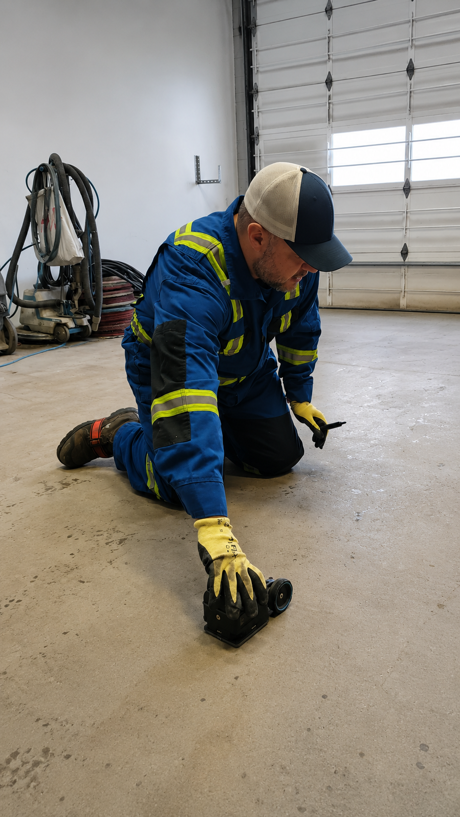
GPR Scanning should be performed before any project where hidden underground utilities or embedded concrete objects could create safety risks. It is commonly required before excavation, trenching, directional drilling, concrete cutting, coring, demolition, foundation installation, utility construction, and major renovation projects. Detecting hidden obstacles before work begins helps prevent utility strikes, structural damage, and expensive project delays.
Many underground utilities and concrete-embedded objects cannot be identified using visual inspections or outdated construction drawings. Ground Penetrating Radar (GPR) provides real-time subsurface information, allowing contractors to locate buried utilities, voids, rebar, conduits, and post-tension cables before construction activities begin. This improves decision-making and helps construction teams work with greater confidence.
Contractors, engineers, architects, surveyors, facility managers, and property owners rely on GPR Scanning to improve job site safety and reduce project risks. When combined with Utility Mapping, GPS/GIS Mapping, Private Utility Locating, Concrete Scanning, and Utility Marking, GPR technology helps ensure projects stay on schedule while protecting underground infrastructure and structural components.
What Is Required For GPR Scanning?
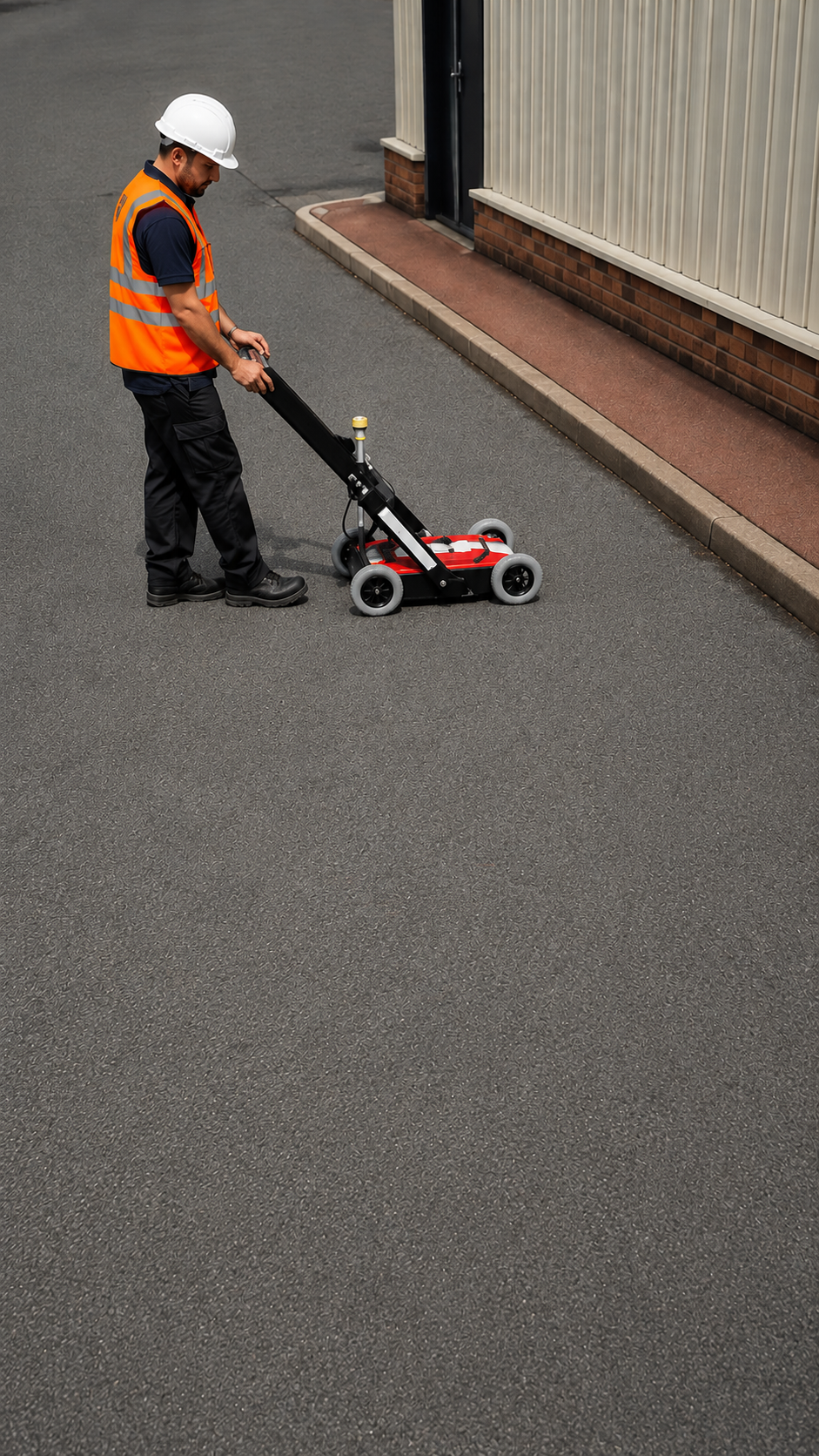
Successful GPR Scanning begins with a clear understanding of the project scope and unrestricted access to the scanning area. Property owners or contractors should identify the work zone, provide available construction drawings or utility records, and communicate the purpose of the scan. Although existing documentation is helpful, professional technicians perform a complete site assessment to verify actual underground conditions.
Professional GPR Scanning requires specialized radar equipment, experienced technicians, and advanced data interpretation. The radar system transmits electromagnetic waves into the ground or concrete and records reflections from buried objects. Skilled operators analyze these reflections to identify underground utilities, rebar, post-tension cables, conduits, voids, and other hidden features with a high level of accuracy.
Hiring an experienced GPR Scanning company ensures reliable results and detailed documentation that supports safe excavation and construction. Combined with Utility Mapping, GPS/GIS Mapping, Private Utility Locating, Concrete Scanning, and Utility Marking, professional GPR services provide the accurate subsurface information needed to reduce risks, prevent costly damage, and complete projects safely and efficiently.
Our Reviews
What Our Customers Have to Say About Us!
“Excellent service from start to finish. The team was professional, accurate, and completed the utility locating work right on schedule. Highly recommended!”

“Very impressed with the quality of work. The crew was knowledgeable, thorough, and clearly explained everything. Great experience and dependable service.”
“Fast, professional, and reliable. They made the utility locating process simple and provided accurate results. I would definitely use their services again.”
The Process
3 Step Process For Your GPR Scanning Needs

Contact Us
Start by completing the 'Get a Free Quote' form on our website to share your needs with us.

Schedule Your Estimate
Next, we'll arrange a property visit at a time that works for you to provide an in-person estimate for your needs.

Get The Job Done
After you approve our estimate, we'll schedule a date to complete the job. Our team will work hard to exceed your expectations!
Request A Free GPR Scanning Quote
BUSINESS
SERVICES
SERVICES
SERVICE AREAS
OPERATING HOURS
Sun: Closed
Mon: 7:00am - 7:00pm
Tue: 7:00am - 7:00pm
Wed: 7:00am - 7:00pm
Thu: 7:00am - 7:00pm
Fri: 7:00am - 7:00pm
Sat: 7:00am - 7:00pm